

1. General Information:
1.1. Basic Facts:
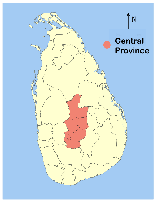
The Central Province is located in the central hills of Sri Lanka, made up of three districts: Kandy, Matale, and Nuwara Eliya. It spans 5,674 square kilometers, accounting for about 8.6% of the country's land. The region is very hilly and rugged, with elevations ranging from 183 meters up to over 1,829 meters. It is bordered by the North Central Province to the north; the Mahaweli River and Uma Oya to the east; towering mountains like Adams Peak to the south; and the Dolosbage and Galagedera mountain ranges to the west.
The province's climate varies significantly with elevation. Mean temperatures generally range from 16C to 28C, though the lower temperatures are concentrated in the higher elevations of the Nuwara Eliya District. Temperature decreases at a steady rate of about 6.5C for every 1,000 meter rise. For example, Kandy, at an elevation of 488 meters, records a mean annual temperature of about 24.5 C, while Nuwara Eliya, at 1,895 meters, sees a cooler mean of about 15.8C. In terms of rainfall, the province is divided into wet, dry, and intermediate zones. The majority of rainfall is supplied by the south-west monsoon, with the highest annual recording of 5,024 mm reported in Watawala. In contrast, roughly 80% of the Matale District exhibits a dry zone pattern, receiving its rain from the north-east monsoon, Dambulla, for instance, reports 1,234mm annually.
Map 1.1.1. Sri Lanka - Provinces:
Land use in the Central Province is characterized by extensive agriculture. 52% of the land has been cultivated, with an additional 6.3% identified as potentially cultivable. The region is a key agricultural hub, heavily reliant on a few major crops: over 35% of cultivated land is dedicated to tea, while 14.8% is used for paddy. Other important crops include coconut and rubber, which account for 4.8% and 2.3% of cultivated lands, respectively.
Map 1.1.2. Central Province - Districts: